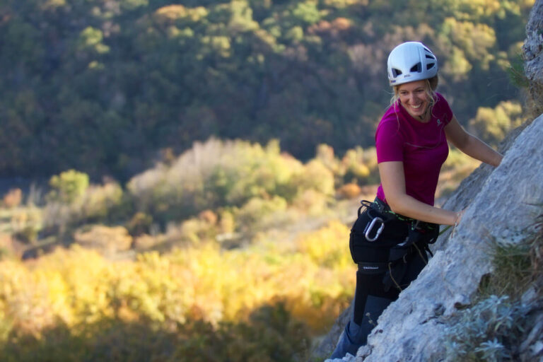
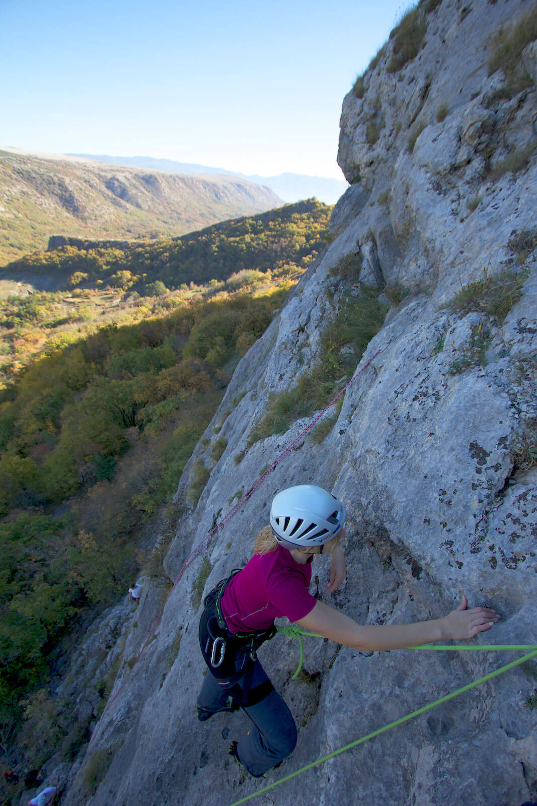
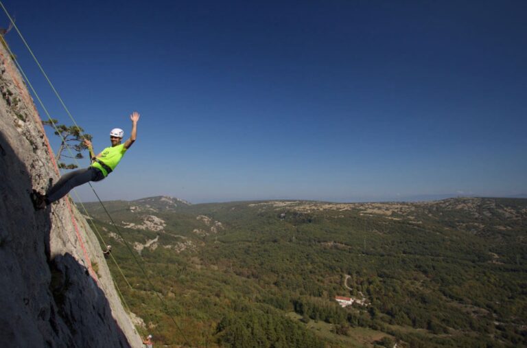
Sport climber on a limestone cliff above Baška
Limestone, Spring and Autumn

Sport Climbing in Baška

Four climbing areas within a ten-minute drive from Baška center. Each has its own type of limestone, exposure, and character — from 4a beginner routes to 8a projects at Portafortuna. This page summarizes what is written in the local guide, and for the current topo and route list, check theCrag.

4main climbing areas
≈ 178sport routes
4a – 8agrade range
limestonesport climbing

Why Climb in Baška

Baška Valley is surrounded by limestone on all four sides. Within a ten-minute drive, there are four significantly different climbing areas: Portafortuna slabs and overhangs, Belove stene with sector arrangements to escape the sun, Bag slabs with sea views, Bunculuka bouldering profile by the coast.

According to Krk Outdoor, the area has about 178 sport routes and 5 long sport routes. For current route lists with grades and conditions, use theCrag — all links on the tabs lead directly to the current climbing area page.

Responsibility at the Crag

Climb at your own risk. Before each ascent, visually check quickdraws, anchors, and rock, monitor for Bura wind and rain forecasts, and do not assume that access through the camp is automatically open. In case of emergency, call 112.

On your own

Four Crags, Four Different Days

Our own descriptions based on Krk Outdoor and local experience. Clicking on the tab leads to theCrag for the most up-to-date topo, grades, and number of routes per sector.

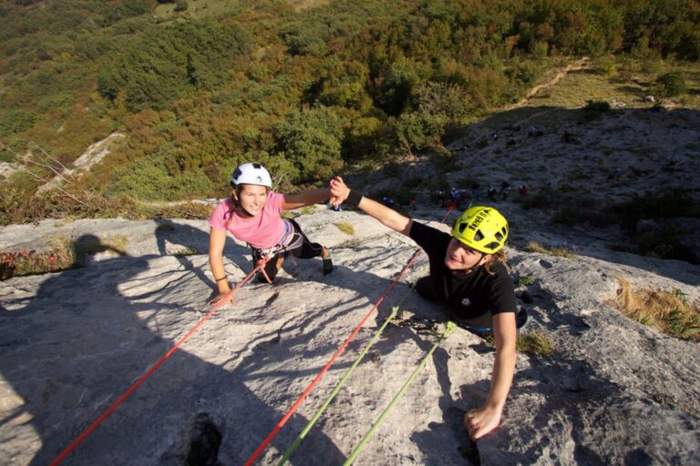
Climbing couple on Portafortuna crag near Baška On your own

Portafortuna

  • 4a – 8a
  • longest route 33 m
  • up to 14 quickdraws
  • approach 15–20 min

The largest and most visited climbing area on Krk. Five sectors with slabs and overhangs on compact limestone, its afternoon shade makes it a natural choice for summer days.

Parking at Mošuna restaurant (former Portafortuna disco); marked trail, route names written on the rock. Please close the sheep fences.
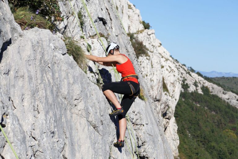
Female climber on Belove stene limestone above Baška On your own

Belove stene

  • 4a – 6c
  • longest route 36 m
  • up to 12 quickdraws
  • approach ~30 min

An underrated climbing area above Draga Bašćanska with the longest route in the region and six sectors of varying exposures. There's always a shaded sector available, climbable all year round.

Parking next to the Glagolitic stone on the Baška – Punat road; follow red markers for ~30 min, close sheep fences along the way.

Climber on Bag crag above Baška Bay On your own

Bag

  • 4a – 6b
  • longest route 27 m
  • up to 12 quickdraws (14 from below)
  • approach 15–20 min

The "Stone Guardian" overlooks the entire Baška Bay. White slabs with small, sharp crimps and the most beautiful climbing photos in the area.

Leave your car at the last parking lot in Zarok, accessible by asphalt road, then follow the marked trail through the pine forest. From the ledge, a 70 m rope and 11 quickdraws are recommended; from below, 80 m and 14 quickdraws.

Climbing in Bunculuka by the sea near Baška On your own

Bunculuka

  • 5a – 7a+
  • longest route 17 m
  • up to 7 quickdraws
  • access through FKK camp

A few meters from the sea in the shade of a pine forest. Requires bouldering strength, not slabs. Proximity to the sea means glued bolts and occasionally weaker rock — thoroughly check your protection.

Leave your car at the Oleander parking lot above the camp. Passage through Bunculuka camp during high season may be subject to control and fees; an alternative is walking around the camp. Combining it with Vrženica canyon makes for a full-day trip.

Comparison

All four climbing areas in one table

For a quick comparison — grade range, length of the longest route, required equipment, and rock character.

PenjališteRaspon ocjenaNajduži smjerKompleta (max)KarakterKada je najbolje
Portafortuna 4a – 8a 33 m up to 14 5 sectors, slabs and overhangs afternoon shade, summer favorite
Belove stene 4a – 6c 36 m up to 12 6 sectors, various exposures all year, multiple shaded sectors
Bag 4a – 6b 27 m up to 12 (14 from below) 1 crag, white slabs, sharp holds spring and autumn, bay view
Bunculuka 5a – 7a+ 17 m up to 7 1 crag, bouldering profile spring and autumn, crowded in shade during summer

Data on grade range, route lengths, and number of quickdraws are taken from Krk Outdoor. The number of sectors and the current route list are maintained on theCrag, Krk area.

Orientation

Map of climbing areas and parking

Solid markers indicate the crag, ring markers indicate parking and the start of the approach trail. At Belove stene, the approach from the parking is about half an hour, so the difference is important for planning.

  • Penjalište
  • Parking i polazište

Practical Tips for the Crag

Season

Spring and autumn are the most pleasant. In summer, plan for early morning or late afternoon, especially on south-facing exposures. The Bura wind can be sharp in the canyon's leeward side; after rain, limestone remains slippery for several hours.

Equipment

For Portafortuna, up to 14 quickdraws and a 70 m rope. For Bag, from above, a 70 m rope and 11 quickdraws; from below, 80 m and 14 quickdraws. Belove stene and Bunculuka work with up to 12 and 7 quickdraws, respectively.

Anchors and Salt

In Bunculuka, some bolts are affected by salt due to proximity to the sea — visually check each quickdraw. The main body of the cliff has weaker rock in places. At Belove stene, rocks occasionally fall due to sheep, a helmet is recommended.

Approach

Approach trails are regularly maintained by Krk Outdoor and partners. Close sheep fences behind you. For Bunculuka, check the access rules through the camp during high season.

HGSS and Insurance

In case of emergency, call 112. Check if your travel insurance covers sport climbing and potential mountain rescue costs.

Current Topo

Printed and PDF guides for Krk are mostly outdated. The most up-to-date list of routes, grades, and reports on anchor conditions are maintained by climbers themselves on theCrag — open it from the climbing area tab before heading out.

Sources: Krk Outdoor for descriptions, grade ranges, and route lengths; theCrag for current topo and number of routes per sector. Community content on theCrag is published under a CC BY-NC-SA license; this page uses only facts and links, along with its own descriptions and photos.